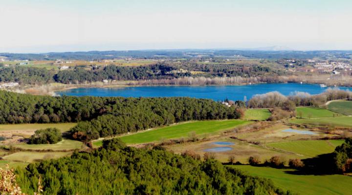
Can Morgat lagoons
Next to the Banyoles lake, the emblematic landscape of inland Catalonia and a place of reference for scholars in the humid environment, a group of lagoons has been reborn in the Can Morgat plain. The aquatic life has now returned to this area where long ago the hand of man decided to strip it; a step forward in recovering a landscape that enjoys huge popular appreciation.
ALL THE SPACES IN THE NETWORKGeology
Can Morgat is located on the northern edge of the Ebro basin, at the foot of the Pyrenean terrain of the Alta Garrotxa. This basin was filled with sediment during the Tertiary period, at the same time as Alpine orogenesis was raising the Pyrenees to the north and the Prelitoral mountain range to the south and southeast. The Tertiary sediments are mainly marls, sandstones and conglomerates and may have a marine or continental origin. In more recent times (Neogen), numerous normal faults severed pre-existing terrain, leading to tectonic pits and to the present coast.
The mountains of the Alta Garrotxa, to the north, have quite abundant rain in that sector. The water, which infiltrates the aquifer, flows south and tectonic and the presence of fractures in the materials leading these underground flows cause their outflow. This happens on the Fluvià river, in the Sant Miquel de Campmajor valley and in the whole of the lakes in the Banyoles lake basin.
On their way through the aquifers, the waters act by dissolving the limestones and gypsum on which this entire area rests. This is how the surface sinks and the sudden creation of the ponds occurs.
